
The day began as we left Richmond and its castle tower behind, crossing over the River Swale.and heading east toward the North Sea. We have miles to go, but we both felt the excitement of entering the final phase of our trek.

After following the banks of the River Swale for several miles to the garrison town of Catterick, the path eventually left the river for good and set off across open country. The land was flat and fertile, mostly dedicated to agricultural use. The walking was level and easy, but route finding was sometimes an issue. In the photo below, the path crosses right through the middle of a potato field!

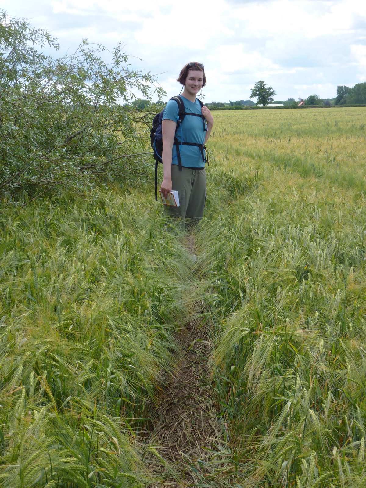
This is another typical scene from the day, as the path follows the margin of a field of barley.

After seemingly endless fields and gates, only four more miles to go!

We had some road walking today, mostly along farm roads like this:

Here is a beautiful view of poppies and buttercups:

The barley in this field is ripening and almost ready to harvest. The path winds through the field and is very difficult to follow at times. There is a discernible pathway, but is it mostly covered by the barley and you can't see it unless you're standing on it! It's easy to miss a turn and head out across a field in the wrong direction. We did a bit of wandering around in this maze before picking up the path on the other side.
Here we enter Danby Wiske and the welcome shade of the White Swan Inn. We spent the night at a B&B next door, and enjoyed a great pub meal after chatting with some other British hikers. The sign on the side of the pub says: "Robin Hood's Bay - 60 miles." We are more than two-thirds of the way now, and the realization that we're actually going to make it is beginning to sink in.

The end of another good day in the hills and ales: Black Sheep Bitters

No comments:
Post a Comment