

Nonetheless, off we set with our lunches packed and our hopes high. Up and up and up we climbed, first to the small plateau of Boredale Hause (a kind of trail crossroads). Here's the view down to Patterdale, and its large adjacent lake, Ullswater:

Then up we climbed to Angle Tarn, and up further to The Knott, shown here:

If you think those clouds look ominous, you're absolutely right. The higher we climbed the foggier it got, until we were quite literally IN the clouds. Once every 20 minutes or so the clouds would shift and we could see the next peak over or even down into the valley, but most of midday was spent with ~15' of visibility. And this was the day we had chosen to take a detour...
More pictures to come, but here's the summary: Rather than climb Kidsty Pike with absolutely no visibility and then face a very steep climb down, we opted for an alternate route recommended by our innkeeper that travelled a bit further north along the High Street (an old Roman road) and then curved east toward Haweswater Reservoir with a much gentler decline. Unfortunately, the path was rather less than well marked and we spent the better part of the next three hours trudging along a very soggy ridge, checking the map, and searching through the fog for some sign of our turnoff - all in constant rain and a bitter cold wind.
Eventually the skies cleared a bit and our spirits rose accordingly. We gave up any notion of finding our so-called path, but spotted a cluster of trees by the shore and headed for it. Eventually we made our way to the shore and rejoined the C2C path, which we followed all the way into town. We arrived wet and weary but much relieved that at least we knew where we were.
More pictures, as promised...
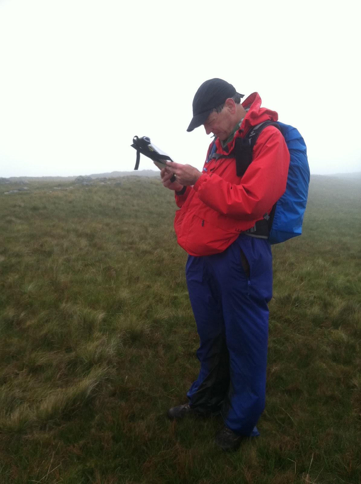
Here's Dad, trying to figure out where we are. In fact we were exactly where we thought we should be, not that you can tell with all that fog:
A few hours later, much happier now that we have some sense of where we are. Or maybe he's just glad it's no longer raining...?

And by the end of the day...

No comments:
Post a Comment