

We have had many beautiful views of craggy heights and rural landscapes, but the best part of the trip so far has been the people. Our fellow walkers come from all over the world to do the "C2C", and we have enjoyed the experience of being a traveling community, sharing stories about the trail and about our lives. However, the most numerous of our companions are of the fleecy variety pictured below:

You cannot turn in any direction out here without seeing some sheep - and stepping in their poop. There are many cute little lambs, and their bleats sound just like children. I keep thinking that I hear my own children out there on the hillside ...

Our walk took us past the ruins of Shap Abbey, which was built in 1199, the last abbey to be established in England. There are also numerous much older archeological sites out on the moors, some of which have not yet be excavated. We are walking on top of so much history, and see only the occasional bit poking out of the ground. Even those brief glimpses give a different time perspective.

Just east of Shap we crossed the M6 motorway, the main north-south route in England. What a contrast to the peace and quiet of our ambling pace! We put it behind us as soon as we could.
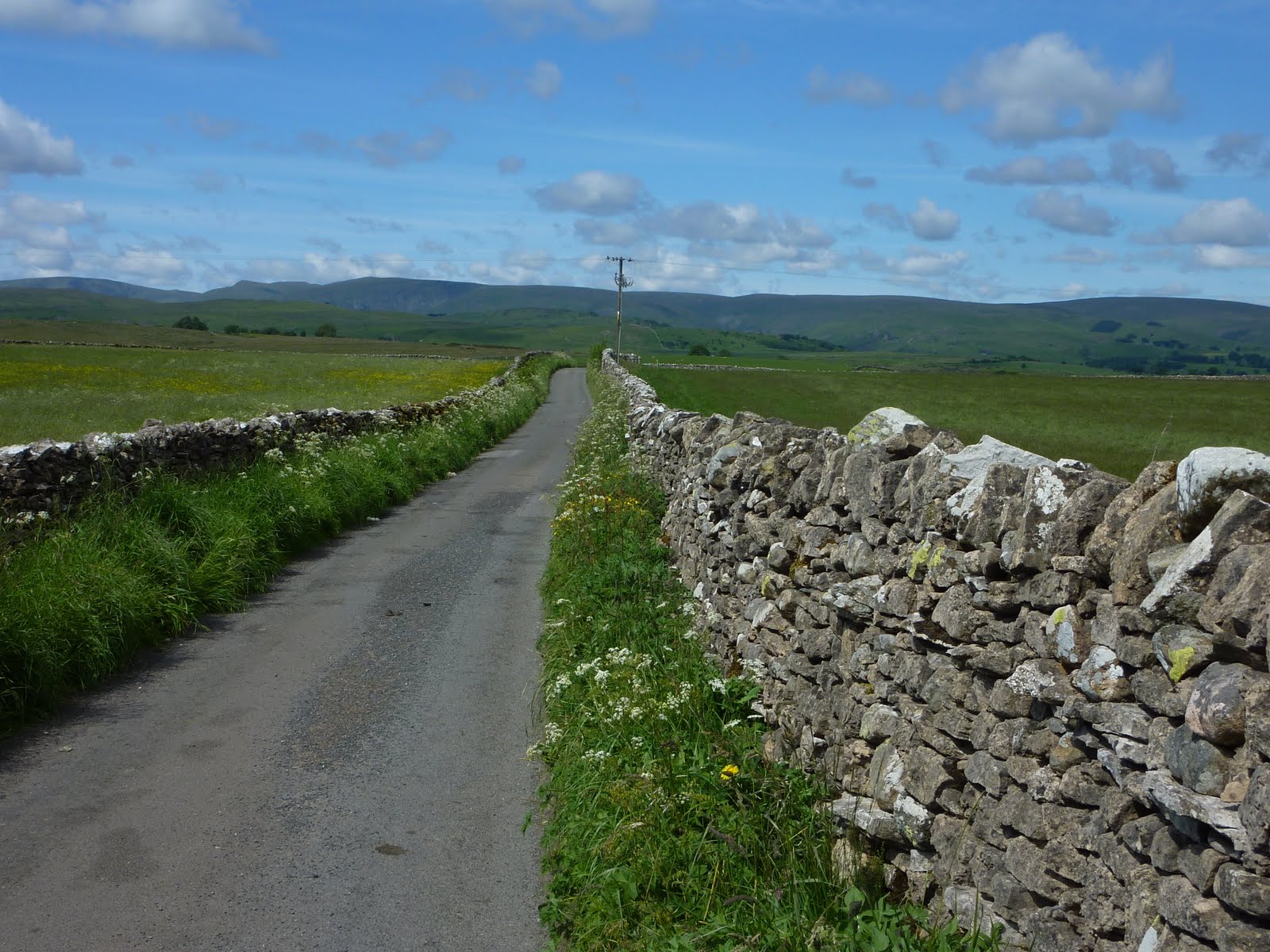
Here's a typical view of our walk, for a time passing along a country lane, heading out toward the moors again. Laura looked up with alarm and said, "Wait, what are those hills doing there? I thought we were done with that!" The hills in the background are the Pennines, the mountain range which forms the north-south spine of England. We will be crossing them in a couple days.

Here we see more verdant moors, with an explosion of cloud and jet plane contrails in the sky. There was an RAF base nearby, and for several miles we were startled by the dramatic appearance of fighter jets diving and twisting in the sky directly overhead. They were probably piloted by twenty five year olds who were playing with the best toys of their lives..

Here's a sign showing the Coast to Coast route along with other local footpaths. Our day ended as we came down off the moor and moved through several tiny hamlets before coming to the village of Orton. It was a thoroughly lovely day on the trail.
No comments:
Post a Comment