The Coast to Coast Path

The Coast to Coast Path (C2C) traverses northern England for a total distance of 192 miles. Most walkers travel from west to east, from St. Bees on the Irish Sea to Robin Hood's Bay on the North Sea. The path was proposed and designed by Alfred Wainwright in the 1970s. It crosses through three national parks, including the Lake District, the Yorkshire Dales, and the North York Moors. Most of the walk is on park hiking trails and public footpaths through private land; there are a few stretches on paved back roads. The C2C path was originally proposed as a twelve day walk, but more days can be added to allow a more leisurely pace.

Saturday, June 25, 2011

Day 18: June 25, 2011 - Littlebeck to Robin Hood's Bay

The final day!  There was much excitement at Intake Farm at breakfast as the ten of us who were overnight guests shared plans for celebrating our arrival at Robin Hood's Bay.   We began by crossing back across the fields to the Falling Foss, the waterfall which we had walked to yesterday afternoon.  The path followed the stream through the woods for a mile or so, on a route which was often slippery.  We emerged from the woods into farmland, and then began a long and largely unmarked transit of the moors in Greystone Hills.  In the photo below, Laura is following the guidebook's direction to "head across the moor toward a leaning tree".  Exactly which leaning tree was not exactly clear.


Apparently, everyone wanders around a bit in the Greystone Hills.  We did no better.  The clear trail disintegrated into a dozen possible paths, and signage stopped in the middle of the moor.  We used GPS and a compass to get pointed in the right direction, eventually rejoining the trail and nearly stumbling over a signpost which was all of 18 inches high.  It was all good for a laugh.  Our spirits were high, and we were indomitable.  Nothing could stop us now!  Once out of the hills we approached Hawsker, a village only half a mile from the North Sea.  Here's that joyful moment:


And finally, after a break for Cokes and sandwiches in a mobile home park tea shop, we strode down the grassy slope to the edge of the cliff to view this scene:  the eastern coast of England!


What a moment!  The wind was blowing hard, seagulls were keening, surf was crashing, and we were grinning like idiots.  Turning south, the C2C path followed the coast for several miles before reaching Robin Hood's Bay.  Here you can see another headland, with the path skirting the edge of the cliff.  There were dramatic views like this around every corner - our reward for all those hours in the clouds and rain earlier this week.


Here's Laura, walking to the sea ...

 Finally, we rounded the last headland and got our first glimpse of Robin Hood's Bay.  The town has a high sea wall to protect it from cliff erosion, so it looks a bit like a fortress perched on the hill. 
 

Here you can see how tall those cliffs really are in relation to the houses perched on top:


The path followed the cliffs until entering town through this gate.  From here on, country paths and sheep manure were left behind, to be replaced by tourist shops and ice cream stands.  We were ready for a change.


Following C2C tradition, we dipped our boots in the North Sea at RHB, and threw into the sea the pebbles which we had picked up in St. Bees at the start of our walk.  We had carried them from coast to coast.


We then strutted past the tourists and joined our fellow walkers in the bar at the Bay Hotel,


where we completed the ritual signing of the C2C book,


and toasted ourselves for a job well done.


18 days, 16 B&Bs, and 31 pints... C2C 2011!
 

Friday, June 24, 2011

Day 17: June 24, 2011 - Glaisdale to Littlebeck

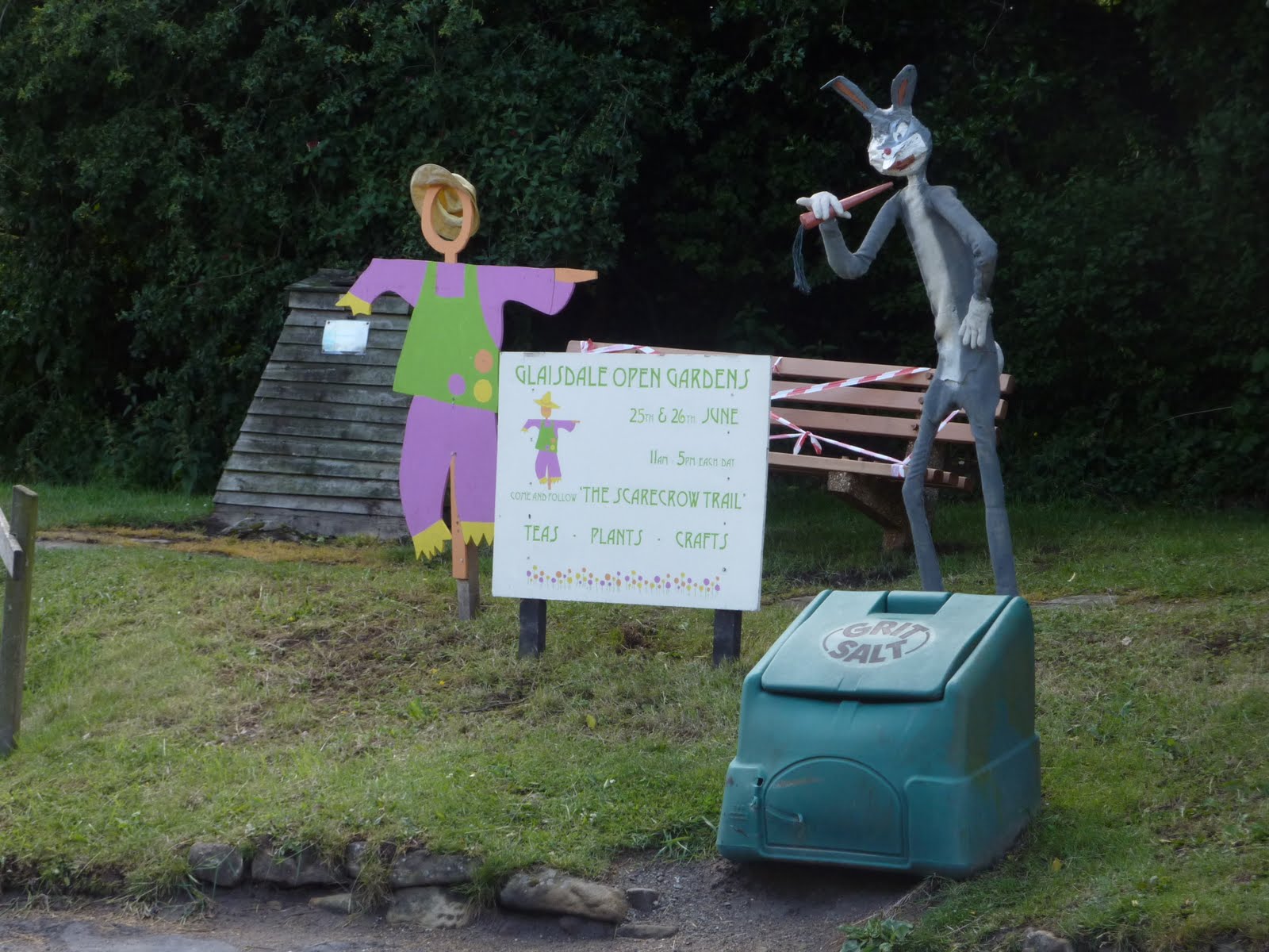
After our marathon day yesterday in the moors, we were happy to have a shorter (and drier) day today.  Our walk of eight miles was the shortest of the crossing.  We began in the village of Glaisdale, and walked through the pretty villages of Egton Bridge and Grosmont before arriving just after lunch in the hamlet of Littlebeck.

Here the path climbs on very old, worn steps through East Arncliffe Wood after leaving Glaisdale.


After Egton Bridge, the C2C path follows a private estate road through well-tended farms like this one:

In Grosmont there was excitement - steam locomotives on the North Yorkshire Moors Railway huffing and puffing in a setting unchanged from a half-century ago.  We enjoyed some tea and scones in an old-fashioned station teahouse before beginning the steep climb eastward out of the village.


Here is Laura, feeling her strength as she tops out on the penultimate climb of our hiking adventure.   You go, girl!


Grosmont is behind us in a deep valley, and ahead is .... the North Sea!  What a thrill to see the coast in the distance after so many days of walking and anticipation.


Throughout England there are standing stones, silent monuments of ancient ancestors and a forgotten past.  Here's one of the High Bridge Stones on Sleights Moor, with a modern visitor.


After the windswept expanse of Sleights Moor, the path follows the A169, a busy road which connects York with the coastal town of Whitby.  Trudging along the road with cars buzzing past we could clearly see the North Sea ahead - close enough that we could have walked to it in 30 minutes.  In a cruel twist of trail planning, the C2C turns away from the sea just as the goal is in sight, and heads southeast back into the valleys and hills.  Laura had some feelings about this, as you can see below.  I think I heard her mutter "Curse the name of Wainwright!"


Our B&B for the night was Intake Farm outside of Littlebeck.  Unlike many B&Bs with rustic names but modern settings, this really was a working farm.  We walked in through the barnyard, threading our way between machinery and bales of hay, before finding the farmhouse door.  Even though we arrived quite early, our hostess Judith was gracious and hospitable, providing tea and a friendly chat in her kitchen while she was busy with chores.  We ate dinner family style with other walkers from the UK and Australia.  Judith provided endless dishes of food, followed by apple pie and a lemon meringue pie.  It was an impressive performance.  Here's a view from the window of our room:


Since we were so early, we decided to - what else? - go for a walk.  With advice from Judith we took a route down into Littlebeck village, and then followed the C2C path along a lovely river before cutting across fields back to Intake Farm. Here's the village of Littlebeck:


From Littlebeck, the C2C follows a lovely river through the Sneaton Woods for several miles.  Along the way is "The Hermitage", a cave carved out of a single huge boulder.  The initials GC and the date 1790 are carved over the doorway, and there is a stone bench along the inner walls of the cave.  It is a folly and was carved out of the rock about 1760 by an out of work seaman on the instructions of the local schoolmaster George Chubb. Two stone "wishing chairs" are carved into the top of the boulder, and it is said that if you make a wish in one, you must then sit in the other one to make it come true.


Shortly after passing the Hermitage, there is a glimpse of a stone cottage in the woods and the sound of a waterfall.


The waterfall is called "Falling Foss" and it is quite pretty.  The cottage, known as Midge Hall, is the site of the Falling Foss Tea Garden, an outside picnic area next to the falls where weary walkers can enjoy refreshments.  Since Laura is a connoisseur of cream tea and scones, well, we just had to try some.


The Coast to Coast path sets off to the east near Falling Foss, so we completed our loop by cutting west across several fields and farm lanes in order to return to Intake Farm.  We will return to Falling Foss tomorrow morning to resume our march to the sea.

Thursday, June 23, 2011

Day 16: June 23, 2011 - Clay Bank Top to Glaisdale

Today was the longest hike of our trip - 18 miles across moors and valleys from the pass at Clay Bank Top to the little village of Glaisdale.  The route followed roads and an old railway bed across the moor, so it wasn't difficult to stay on course.  This was fortunate, since we left our hotel in a driving rain which fell relentlessly for the next four hours.   The first half of the day was just miserable, as we walked nine miles in wind and rain which chilled us to the bone.  So much for the weather forecast!  No photos from this stretch - had to keep the camera dry.

We came at last to an oasis in the wilderness, the Lion Inn, which is perched on Blakey Ridge and has been providing sustenance to weary travelers for more than 500 years.  We were not the first to arrive that day:  the entryway was clogged with dripping backpacks and muddy boots.  We found a table near the bar and ordered tea and soup.  Our hands were so cold that we couldn't grasp coins or hold a pen to sign a credit card receipt - so we just kept a tab at the bar and warmed our fingers with our tea mugs.  As you can imagine, there was a lot of mumbling and grumbling about the weather from those of us who had been out in it all morning.   Going back out into the rain was not a happy prospect.  We considered a bail-out option - taxi ride to our lodgings, returning the next morning - but decided that we should just push on and get it over with.

We must have made the right decision, because we then had a moment of grace.  As we walked out of the Lion Inn, we found the Packhorse van which had been carrying our baggage from inn to inn throughout the trip.  The side doors were open, and our bags were right in front!  We began tearing through our luggage for dry clothes, socks, gloves, etc.  The driver emerged from the inn and was a bit bemused to find these two half-drowned and obviously demented people ransacking his van.  It was Simon, the co-owner of Packhorse, whom I had corresponded with to set up our accommodations.  We made proper introductions and he nodded his head knowingly - I guess he has seen it all.

Leaving the Lion Inn, we proceeded down the road with dry socks and warm hands, and the day just kept getting better.  The rain stopped, and the sun sort of came out.  The C2C path followed a paved road for several miles before cutting off across the moor again.  Here's a photo of the moor, with the orange tile roofs of the Lion Inn on the horizon:


Laura is happy to be dry again ...


The North York Moors are dotted with stone crosses.  Across the moor from Blakey Ridge stands "Fat Betty" (sometimes referred to as White Cross).  The head of the cross is an ancient wheelhead painted white, set into a large stone base half of which is also painted.  It could be Norman in origin, and is one of only two known wheelheads on the North York Moors.   The local custom is to leave and take an offering of food, and you can see some of the offerings below.  Someone actually left an unopened can of Guinness!  (We restrained ourselves and left it there.)


The moors are unfenced, so there are lambs all over the place.  Slow down!


 The purple heather was blooming along the roadside.


Here you can see the path setting off across the moor again.  The distant valley holds the village of Glaisdale, our destination for tonight.


And here we are finally coming into Glaisdale on a farm road.


In a bizarre ending to already strange day, as we entered Glaisdale we began to encounter some odd scenes along the roadside:


It turned out that Glaisdale was having a fundraising event which included open garden tours and a "scarecrow trail".  Here is the scariest one of all:


It was a very long day, but we made it with our feet and spirits intact.  Once again, we very glad to find our way to our B&B, and then the local neighborhood pub for dinner and a pint.


.

Wednesday, June 22, 2011

Day 15: June 22, 2011 - Ingleby Cross to Clay Bank Top

Today we entered the North York Moors National Park and regained the higher ground of the these beautiful, windswept moors.  Unfortunately, we were in clouds and rain for most of the day, so we were deprived of some of the views.  It was a 12 mile walk to Clay Bank Top, where the path descends from the moor to cross a road which provides access to the village of Great Broughton.  We made arrangements with our hotel keeper to pick us up at Clay Bank Top and take us back the next morning, in order to avoid the steep two mile walk to the village.

The day began in Arncliffe Woods, as we walked on this forest road, traversing the hillside and gradually climbing to the top of Scarth Wood Moor. 

 Atop the moor, the C2C path joins an established hiking trail called the Cleveland Way.  That trail wanders 110 miles in North Yorkshire, about half in the moors and half along the coast.  We followed Cleveland Way signs all day today as the path climbed up and down across five ridges in the North York Moors National Park.  Here's a view of the path winding through birches at  the top of Scarth Wood Moor:


 This bench at the top of the moor has to have one of the best views in the world:

Here you can see the path as it winds across the moor.  It is flagged most of the way, so we did not have to cope with the boggy ground which made our crossing of Nine Standards Rigg so difficult last week.  A conservation notice informed us that these moors are maintained by "moorkeepers" whose job includes systematically burning the heather.  Apparently, this prompts new growth and provides habitat for grouse and other wildlife.  In the photo below you can see the strips of moor which have been burned and are regenerating:


Our weather held as far as Carlton Moor, our third ascent of the day, which has a nice summit with a large survey marker.  On a clear day it is possible to see the North Sea from here.  With clouds gathering in the distance, we saw a blue haze but couldn't really distinguish between land and sea.  You can see the patchwork of fields and woods which makes up the landscape of North Yorkshire in the background.


At the base of Carlton Moor there is a haven for tired hikers - the Lord Stones Cafe. They serve tea and beer and hot sandwiches.  Amazingly, there is a bust of Buddha in the kitchen, and, even more amazing, a real live peacock on the patio.  It was quite remarkable to watch this bird strutting around, showing off his plumage to a pea hen, who seemed mostly disinterested in the show.


 Well, we knew the bad weather would come eventually, and now it is fast approaching.  With the darkening of the sky and the chill in the wind, walking into this weather was both ominous and exciting.  We felt pretty exposed up on the moor, but there really wasn't any alternative so we zipped up our raingear and pushed on.


This boot on a signpost tells a story of equipment failure and utter frustration to any hiker.  The C2C path isn't a dangerous place, but it would be no fun to hike down from the moor in socks, especially in the rain.  I wonder what happened next?


The weather worsened as the clouds came down and rain fell steadily.  We climbed down and up another moor, unable to see much at all except the trail directly ahead.  On the last moor at Hasty Bank we passed the Wain Stones, a set of fang-like protuberances which jut out from the summit.  This is a great overlook and a favorite spot for a break or picnic.  Unfortunately, this is all we could see:


We were glad to slip-slide down from the moor and meet up with our ride to the Wainstones Hotel in Great Broughton.  A hot shower and clean clothes were most welcome.  We did feel a bit bad about the muddy mess we left behind, but since the hotel caters to hikers they must be used to it.  The forecast is for better weather tomorrow - let's hope so.

Tuesday, June 21, 2011

Day 14: June 21, 2011 - Danby Wiske to Ingleby Cross

This was our second day of hiking across the Vale of Mowbray.  The path took us across more farmland, with the elevated plateau of the North York Moors visible ahead to the east.  Eventually we came to the village of Ingleby Cross, which lies at the base of the moors, and our resting place, the Park House B&B.  It was an easy walk of 9 miles, one of our shortest days.

The day began with a detour.  We had spent the last of our cash on dinner last night, and needed to get to an ATM.  Our B&B hostess, Jean, graciously offered to drive us in to Northallerton, and so we embarked, passing our walking friends as we sped down the road in her Audi.  This gave us a sneak preview of the route ahead - dark highlands in the far distance.  The ATM was in a grocery store, so we took the opportunity to stock up on Clementines and Snickers bars (our favorite trail foods).  With cash in hand, we returned to Danby Wiske and set out on the path, about an hour behind our trail mates.  Would we catch up with them?  Should we try?  I struggled with my competitive urges as Laura walked, Buddha-like, through the beautiful fields, probably reading my mind and laughing to herself.  Here's a photo of the first turn out of Danby Wiske:


Some farmer must have enjoyed this prank - plastic rats crawling across a C2C stile caught everyone's attention and probably evoked a few gasps of surprise!


Before long, we crossed the main rail line from London to Edinburgh. A train hurtled by as we plodded along, the passengers a blur behind their tinted windows.  They probably didn't even see us.  Walking,  we saw every inch of the countryside. This was their view:


Later in the day, we crossed the A19, a major 4 lane motorway which had no bridge or underpass.  This was probably the most dangerous point on the C2C path.  Walking through the pastoral fields and meadows had given us the sense of being in the land that time forgot - it could have been sometime in the last century  This encounter with modern reality was a bit jarring.  We had grown accustomed to the slow pace of walking, but now we had to run across the highway, hiking sticks clattering and backpacks flapping.

I thought this scene was visually interesting:  two contiguous fields of grain, one several weeks more mature than the other and beginning to change color;  yellow and green stripes across the landscape.


Here's Laura walking through a field of grain with Arncliffe Woods and Scarth Wood Moor in the background.  Our B&B will be in the woods, part way up the hill.


And here is a helpful sign to help C2Cers stay on track:


Throughout the day we have been watching the weather.  No rain so far today, but the clouds are building up and are starting to look ominous:


Here's the village of Ingleby Cross.  The cross is a monument to war dead from the village.  There is also a lovely pub, The Blue Bell Inn, where some fellow walkers spent the night.  Our accommodations were about a half-mile further, on the hillside overlooking the valley.


Here is the Park House B&B, where we spent a lovely evening with some Brits and Aussies drinking Wainwright Ale and cider and having a bit of fun.